class_="gmap"
Using <widget class_="gmap"> creates a graphical map that can be
used to display geographical information. This widget is powered by the Google Maps
service.
Syntax
<dynamic pzpackage="{pkg('lat' 'lng' 'zoom' 'nelat' 'nelng' 'swlat' 'swlng';
     [LATITUDE_VAL] [LONGITUDE_VAL]
     [ZOOM_VAL] '' '' '' '')}"
     height_="[HEIGHT]" width_="[WIDTH]">
  <widget class_="gmap" pzvalue_="@pzpackage">
    <layer name_="[LAYER_TYPE]" lat_="" lng_=""/>
  </widget>
</dynamic>
Attributes
The attributes in this list are specific to widgets with
class_="gmap".
width_- Specifies the width of the map widget in the browser. Accepts an integer value corresponding to the width in pixels.
height_- Specifies the height of the map widget in the browser. Accepts an integer value corresponding to the height in pixels.
label_- Specifies an optional label for the widget. Accepts a text value.
value_- Accepts a dynamic variable in the form:
value_="@variable".The variable provided tovalue_=will hold the unique key of a marker on a map. This attribute is only available for<layer name_="marker"/>, but must be specified in thegmapwidget containing the<layer>element. pzvalue_pzvalue_accepts a package value with specific keys. As a user interacts with the map widget (by dragging, scrolling, or zooming), the values contained in thepzvalue_package will be automatically updated to reflect the new positioning of the map. This includes the latitudinal and longitudinal coordinates of the center point and NE/SW corners along with the zoom level of the map. These values can be used by other variables and widgets contained in the<dynamic>. The following is a list of keys and what their values represent.lat- Specifies the latitude of the center of the map.
lng- Specifies the longitude of the center of the map.
zoom- Specifies level of zoom of the map when it is rendered. Valid values are
integers between
2and21. nelat- Specifies the northeast latitude at the time the map is rendered.
nelng- Specifies the northeast longitude at the time the map is rendered.
swlat- Specifies the southwest latitude at the time the map is rendered.
swlng- Specifies the northeast longitude at the time the map is rendered.
theme_- Specifies a color theme for the gmap widget.
(Available as of prod-9)
Valid values for
theme_are as follows:alpinecolorsaquamarinearmycolorsatlanticcolorsauroracolorsavocadocolorsbeachcolorsbluegreenyellowbrasstonesbrightbandsbrowncyantonescandycolorscherrytonescmykcolorscoffeetonesdarkbandsdarkrainbowdarkterraindeepseacolorsfallcolorsfruitpunchcolorsfuchsiatonesgraytonesgrayyellowtonesgreenbrownterraingreenpinktonesislandcolorslakecolorslighttemperaturemaplightterrainmintcolorsneoncolorspastelpearlcolorspigeontonesplumcolorsrainbowredbluetonesredgreensplitrosecolorsrusttonessandyterrainsiennatonessolarcolorssouthwestcolorsstarrynightcolorssunsetcolorstemperaturemapthermometercolorsvalentinetoneswatermeloncolors
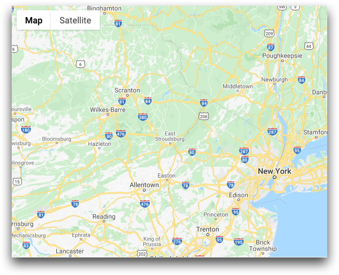
Example for class_="gmap"
This example creates a very
basic map widget that renders at a size of 1100 pixels by 700 pixels.
Note: Only the first
three values of the
pzvalue_ package variable (in this case it's called
pzpackage, but can be called anything) need to be specified. The final
four elements of the package variable can be initialized as null strings (e.g.,
'').
<dynamic pzpackage="{pkg('lat' 'lng' 'zoom' 'nelat' 'nelng' 'swlat' 'swlng';
  40.753622 -73.972841 8 '' '' '' '')}">
  <widget class_="gmap" pzvalue_="@pzpackage" height_="700" width_="1100"/>
</dynamic>